Fly the right numbers.
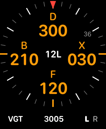
Pick a runway and Fly by Night lays out crosswind, downwind, base and final on a compass that turns with you. Roll out when the next leg reaches the red marker.
For iPhone, iPad and Apple Watch. Works offline.
Downwind
Pick a runway. The pattern comes with it.
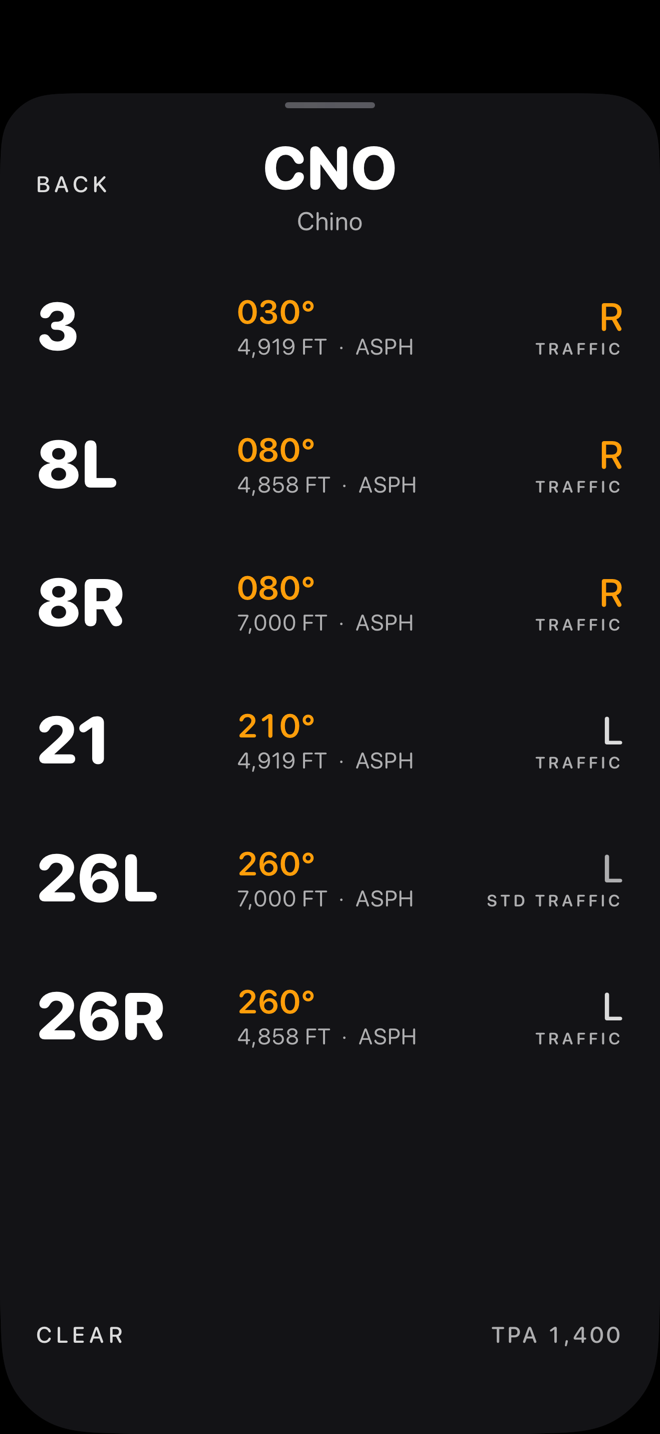
Search by identifier or name, or pick from the fields nearest you: more than 12,000 US airports and every runway end, built in from FAA data. Each end brings its published traffic direction, so a right-hand pattern draws itself the right way round.
Arrive at pattern altitude.
Under the dial: how far out you are, the field's pattern altitude, and the descent rate that has you level at pattern altitude 3 NM before the field. It reads the way your VSI does, so −700 means put the needle on 700 down.
Pattern altitude is the FAA's published one where there is one, and 1,000 feet above the field where there isn't, marked as standard.
On your wrist, too.
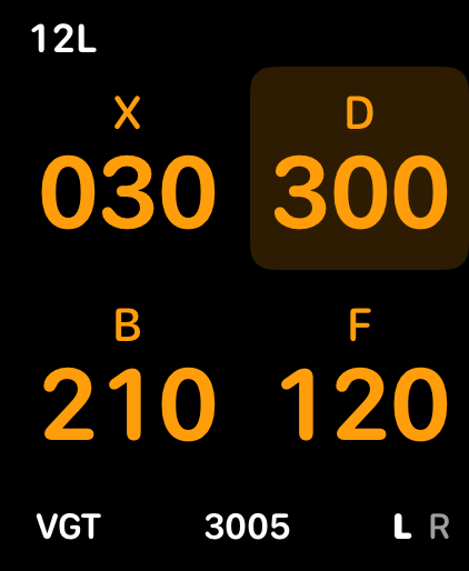
The Apple Watch app has its own compass, GPS and airport data, so the phone can stay in your bag. Pick a runway on either one and the other follows. Complications put your pattern headings on your watch face.
Nothing leaves your phone.
No account, no ads, no analytics, and no internet connection needed. Your location turns the compass and works out your distance on your device, and goes nowhere else. Read the privacy policy.